

Buildings And Roof Aerial Inspection
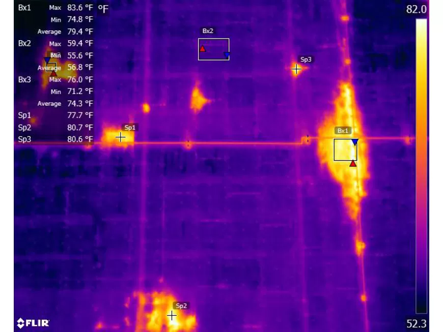
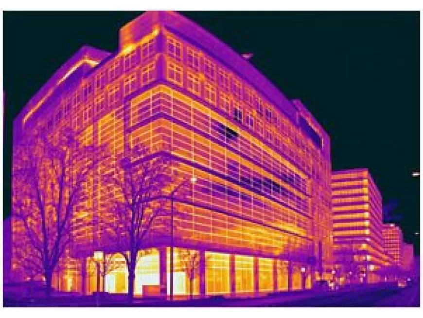
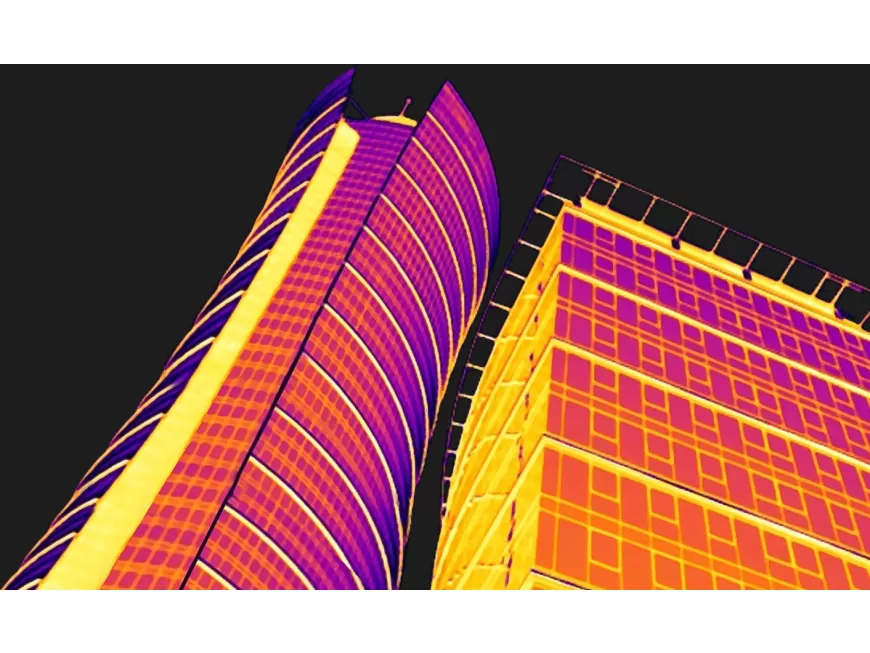
Thermal drones are the perfect companion to a handheld thermal camera in roof and tall building inspections. The drone can see the full picture and pinpoint specific areas of interest. With this data, the contractor will know exactly where to inspect on the roof with a handheld moisture meter and thermal camera to fully diagnose the situation. By quickly pinpointing problem areas, you not only save time and money on inspection, but keep your facilities running efficiently.
Here is a breakdown of how aerial thermal inspections work
Aerial Platform
Thermal Camera
Flight Planning
Flight Path Planning
Aerial Thermal Image Capture:
Pre-flight Checks
Flight Execution
Data Acquisition and Processing:
Thermal Image Capture
Image Geo-Tagging
Data Storage
Image Analysis and Reporting
Thermal Image Interpretation
Reporting and Recommendations
Post-Inspection Actions
Maintenance and Repairs
Energy Efficiency Improvements
Aerial thermal inspections offer a comprehensive and efficient way to assess the thermal characteristics and potential issues of buildings and roofs. By capturing thermal data from an elevated perspective, these inspections provide valuable insights for maintenance, repairs, and energy efficiency improvements.


