Unknown: strripos(): Passing null to parameter #2 ($needle) of type string is deprecated in /home4/smartuk2/public_html/extension/mazaengine/system/library/browser.php on line 71 Buildings Drone Thermography Inspection
Top categories
Quick Links

Place here any module, widget, design or HTML. for example menu, categories

Poco Electro
0
0 item(s) - 0د.إ
Poco Theme
0
0 item(s) - 0د.إ

Buildings Drone Thermography Inspection

Previous Next
Buildings Drone Thermography Inspection

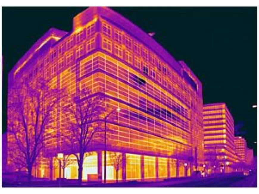
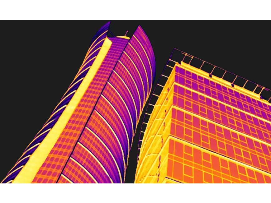
Buildings And Roof Aerial Inspection

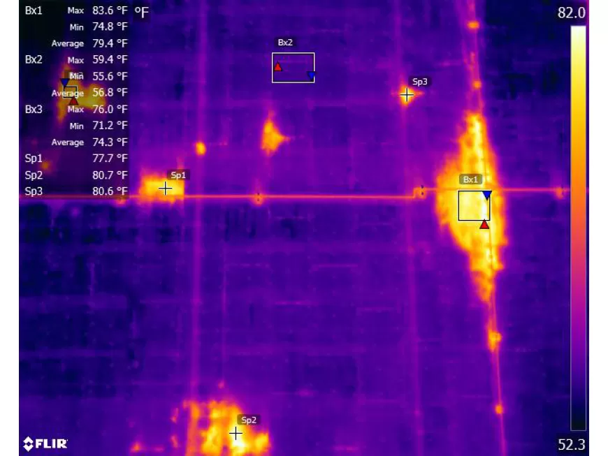
Thermal drones are the perfect companion to a handheld thermal camera in roof and tall building inspections. The drone can see the full picture and pinpoint specific areas of interest. With this data, the contractor will know exactly where to inspect on the roof with a handheld moisture meter and thermal camera to fully diagnose the situation. By quickly pinpointing problem areas, you not only save time and money on inspection, but keep your facilities running efficiently.

Here is a breakdown of how aerial thermal inspections work:

Aerial Platform:
A drone or an aircraft equipped with a thermal camera is used to capture aerial thermal images of the building or roof. Drones are commonly used for their maneuverability and accessibility to various heights and angles.

Thermal Camera:
The aerial platform is equipped with a high-resolution thermal camera capable of capturing infrared images. These cameras detect and measure the temperature variations across the building or roof surface.

Flight Planning:
Survey Area Determination: The inspection team determines the area to be surveyed, including the building’s exterior, roof, and any specific areas of interest or concern.

Flight Path Planning:
Based on the survey area, a flight path is planned to ensure complete coverage and adequate image overlap for accurate data capture. Factors such as altitude, speed, and camera settings are considered during flight path planning.

Aerial Thermal Image Capture:

Pre-flight Checks:
The aerial platform undergoes necessary pre-flight checks, including battery and equipment verification, signal strength confirmation, and calibration of the thermal camera.

Flight Execution:
The aerial platform takes off and follows the predetermined flight path while the thermal camera captures continuous or intermittent thermal images. The flight may involve multiple passes or angles to capture a comprehensive dataset.

Data Acquisition and Processing:

Thermal Image Capture:
As the aerial platform flies over the building or roof, the thermal camera captures infrared images that represent the temperature distribution across the surface. Each pixel in the image corresponds to a specific temperature value.

Image Geo-Tagging:
A GPS system is often integrated into the aerial platform to geo-tag each captured image with precise location data, allowing for accurate mapping and analysis.

Data Storage:
The thermal images are stored in a digital format for further analysis and processing.

Image Analysis and Reporting:

Thermal Image Interpretation:
The captured thermal images are analyzed using specialized software or tools capable of processing and interpreting the thermal data. These tools can identify temperature anomalies, heat leaks, areas of insufficient insulation, or potential issues such as moisture intrusion or energy loss.

Reporting and Recommendations:
Based on the analysis, a comprehensive report is generated that includes visual representations of the thermal data, highlighting areas of concern and providing recommendations for repairs, maintenance, or energy efficiency improvements.

Post-Inspection Actions:

Maintenance and Repairs:
The findings of the aerial thermal inspection guide maintenance teams in addressing identified issues. Repairs can be targeted to specific areas or components, optimizing resources and minimizing disruption.

Energy Efficiency Improvements:
The thermal inspection data can also inform energy efficiency initiatives, such as upgrading insulation, sealing air leaks, or optimizing HVAC systems, to improve the building’s thermal performance and reduce energy consumption.

Aerial thermal inspections offer a comprehensive and efficient way to assess the thermal characteristics and potential issues of buildings and roofs. By capturing thermal data from an elevated perspective, these inspections provide valuable insights for maintenance, repairs, and energy efficiency improvements.


Latest